I had judged that this day would probably be the most challenging of the whole walk. The limestone gorge of the river Loue comes to and end (or more correctly, a beginning) with a spectacular waterfall, underground water emerging to form the river Loue. There was a fruity climb to get there, and then on to another ridge, topping 3000 feet. In total the climb as 550 metres (1800 feet) over 8 kilometres. What I needed was a good night’s sleep in preparation.
Sadly, a restful slumber got I not! People crashing about and talking until 1am, coupled with walls so thin I was kept awake by a snorer in the next room, conspired find me a little jaded come the early daylight hour.
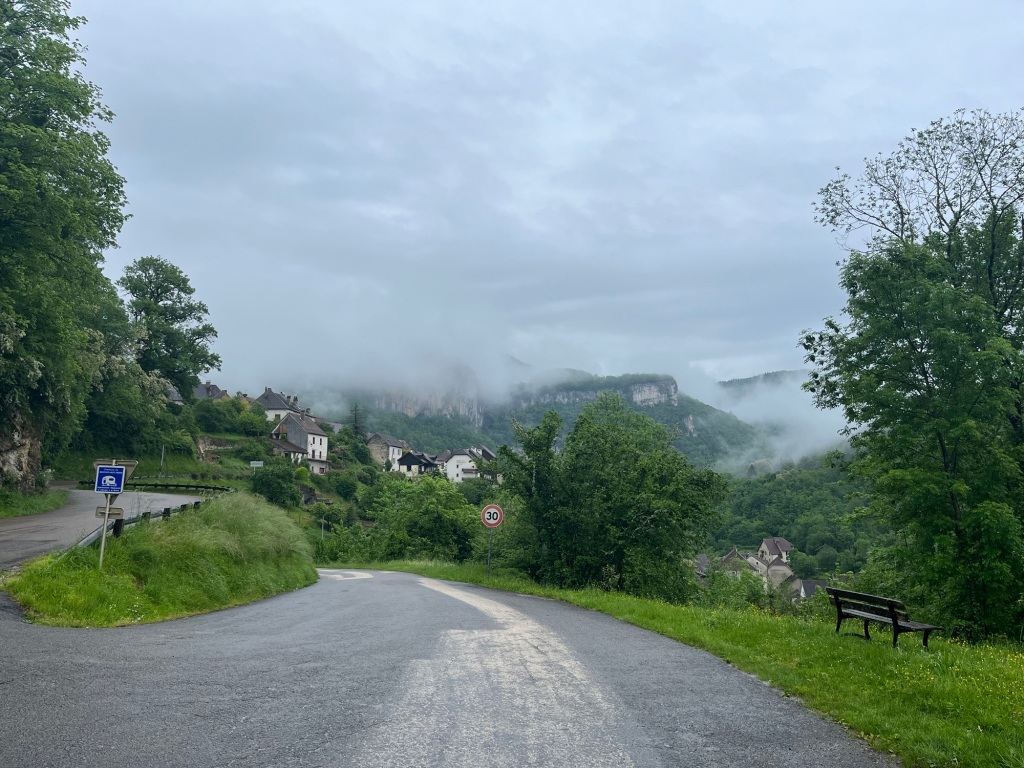
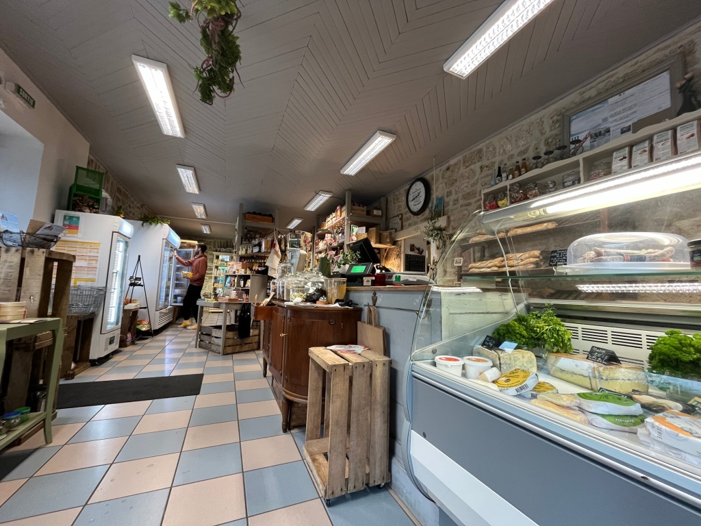
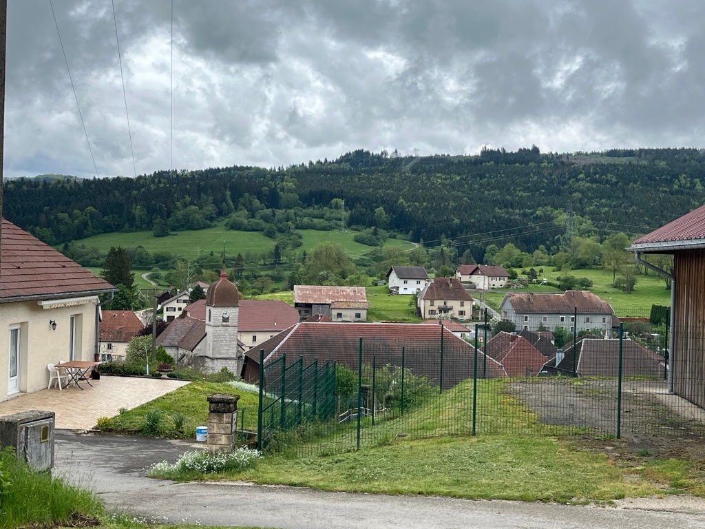
I shook the dust from my tired feet, and bade Lods farewell. Mauthier-Haute-Pierre was the last village in the gorge and I had snagged a rumour that there was a grocery store there that sold baked goods. Twenty minutes walk along the side of the Loue later, I found the shop and had a good breakfast and coffee. It was the sort of trendy place you might find in an aspiring town; a delicatessen with local produce, organic food and hairy jumpers. However they served me well and I strode off ready to face whatever millions of years of geology could throw at me.
Rather annoyingly, the route dropped right down to the valley floor, losing the little height I had gained into the village. Another surprise awaited: the official route was closed. I would have to follow a diversion.
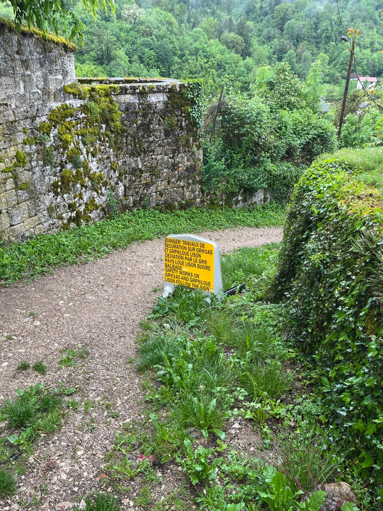
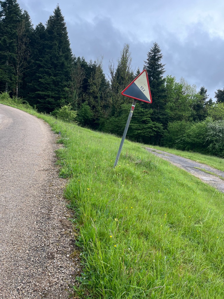
The diverted route was well signed. I couldn’t work out whether not quite knowing where I was going was a good thing or not. But, shortly the only way I was going was up!
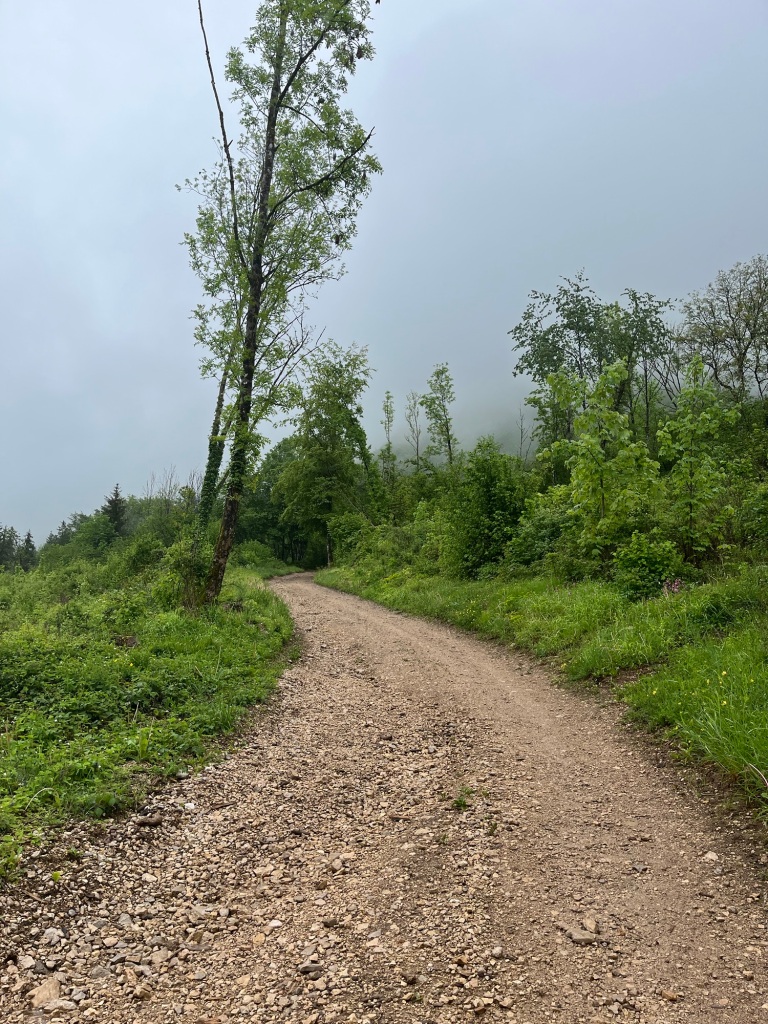
The track wound ever upwards. My calves burned, my lungs protested, I could hear my heart pounding in me ears – but after the first two kilometres, the rate of ascent slowed and I was in the clouds that hung over the cliff edges of the gorge.
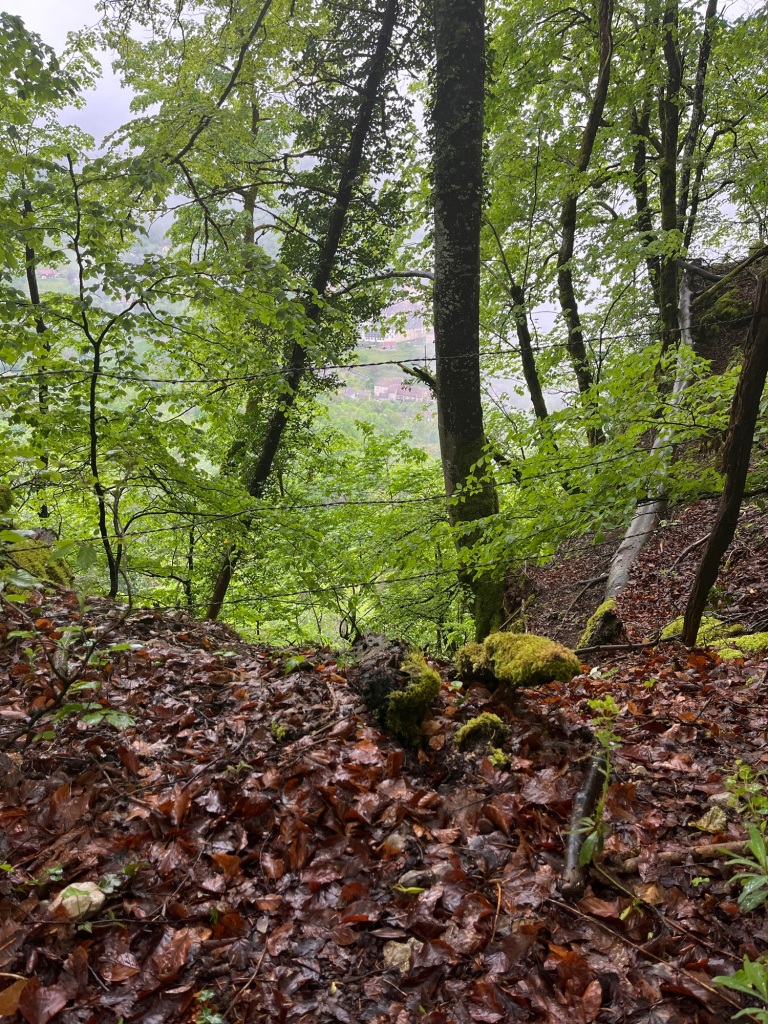
Terrifying drops were just off the left hand side of the path. Often with a string or two of barbed wire for protection; perhaps to give you a dose of tetanus on the way down! Mauthier was now a long way below, but the path continued to lead me higher and higher.
Clouds would often drift across the path, and the gorge to my left often appeared as a foggy mass of nothing. It was disconcerting, a little like driving in the fog, not certain whether there is anything there or not.
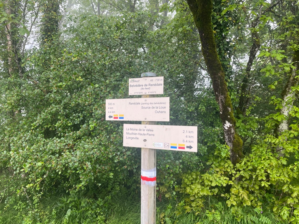
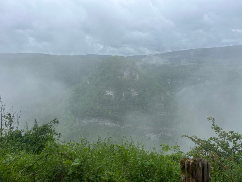
I began to pick up signs for Ouhans, which was the next village on the route. This was about halfway between the two steep sections of climb. At the Belvedere de Renédale, there was a lookout over the gorge. It was for the most part completely white, but occasionally I would see glimpses of cars negotiating the road below on the opposite side. At one point a lorry made excruciating progress: I wondered if the driver was now regretting his journey planning.
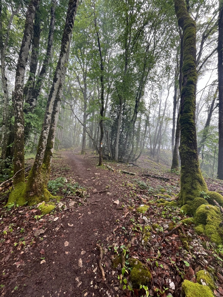
The path continued to wind its way up, with small pastures to my right and the sheer drop to my left.
Eventually the path cut back into woodland and following my place on the map, I worked out that I could head straight for Ouhans, rather than following the signs for the source of the river Loue. Impressive this would be, but it would involve losing considerable height, only to have to climb into the village again.
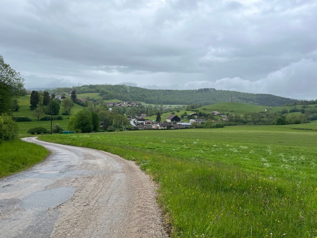
It was lunchtime when I caught my first glimpse of the village. There was not a soul to be seen. I could see the next ridge to climb over behind the church. On the far edge of the village was a little wooden hut – possibly a bus stop. This was a good place to eat my cheese baguette and oranges. I felt good at what I had achieved so far, and despite threatening the rain had not come to much.
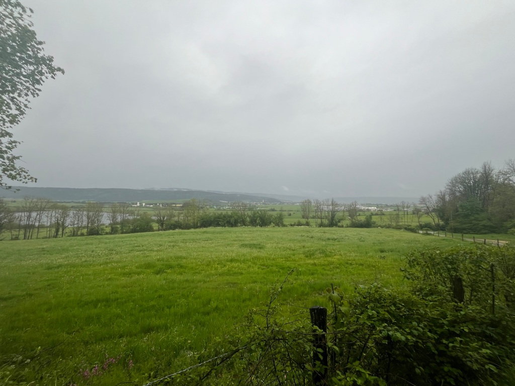
The next climb was up a forest road, easier to negotiate than the woodland tracks of earlier. Cowbells accompanied me, and I paused to look back over how far I had come.
I could hear a thunderstorm developing off to my left, and heavy rain was falling about two miles distant. I pressed on, hoping to get as much distance under my belt as possible before the rain began to fall.
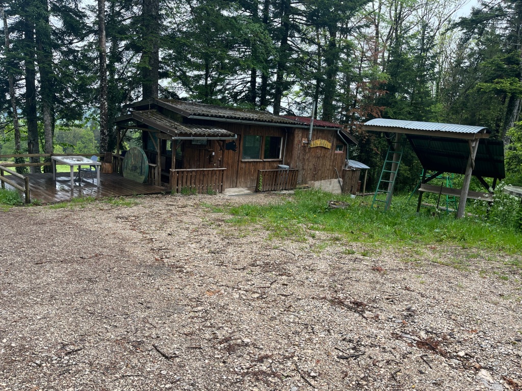
I was particularly taken by this hunter’s hut. What fun it would be to stay here. I checked the altitude, it was around 2600 feet, and almost on cue, my ears popped!
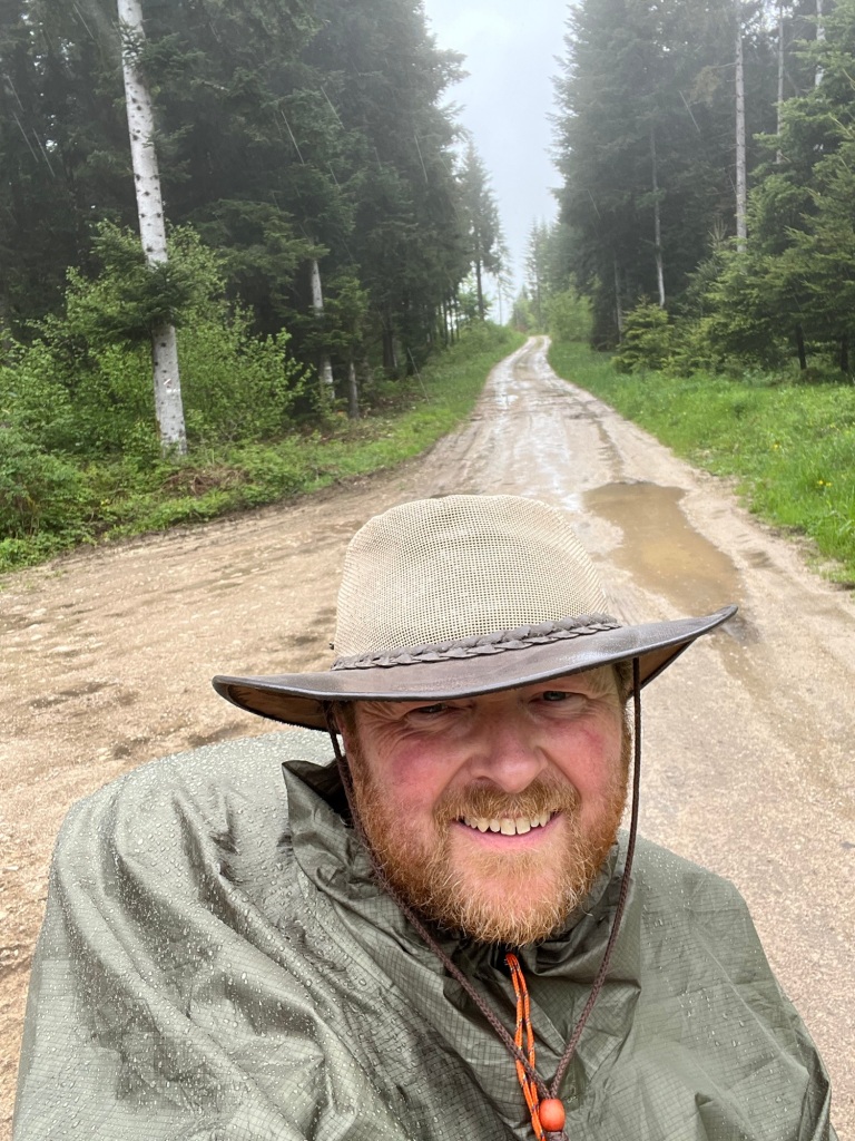
The rain began to fall just before reaching the highest part of the walk, just shy from 3000 feet. I took a selfie, which made me look like I had a seriously humped back. I was a bit disappointed that despite the height, it still didn’t look like a mountain!
In theory, it was downhill all the way now to Pontarlier, albeit only 200 feet lower than I was already. The weather began to deteriorate quite rapidly now. There were still around 8km to walk to my accommodation, which equated to around two hours.
I took shelter in a woodland, under dense conifers for a while, hoping to catch a break. This I did, but it did not last.
The industrial plateau of Pontarlier lay before me and I knew was in for a soaking. From the village of Vuillecin to Pontarlier, the route follows a busy road. Every third vehicle was an HGV, which made for an unpleasant experience. My boots were full of water by the time I crossed the even busier N57. I took refuge in the covered entrance of the Lucie Cobrac college. Here I waited until the rain stopped and then limped in to my thankfully peaceful and comfortable accommodation. I’m not sure I could have been much wetter, but I had conquered the gorge!

Leave a reply to davidbchambers Cancel reply